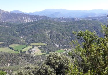
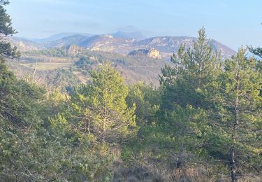
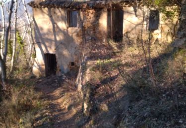
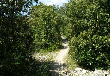
Trail Mountain bike Les Pilles - Les monts d'Autuche - Photo
 tracegps
tracegps

User

© OpenStreetMap contributors
Length
Length
22 km
Max alt
Max alt
957 m
Uphill gradient
Uphill gradient
1044 m
Km-Effort
Km-Effort  
35 km
Min alt
Min alt
292 m
Downhill gradient
Downhill gradient
1044 m
Boucle
Boucle
Yes
Creation date :
2014-12-10 00:00:00.0
Updated on :
2014-12-10 00:00:00.0

(1 Reviews)

Mountain bike
Mountain bike
3h00
Difficulty : Very difficult

Scan this QR Code to open this trail in the SityTrail application

FREE GPS app for hiking

Logo SityTrail SityTrail

IGN / Geographical institutes

Download SityTrail from the App Store Download SityTrail from Google Play

Logo SityTrail SityTrail World

The world is yours!

Download SityTrail from the App Store Download SityTrail from Google Play Download SityTrail on Huawei AppGallery

About

Trail Mountain bike of 22 km to be discovered at Auvergne-Rhône-Alpes, Drôme, Les Pilles. This trail is proposed by tracegps.

Description

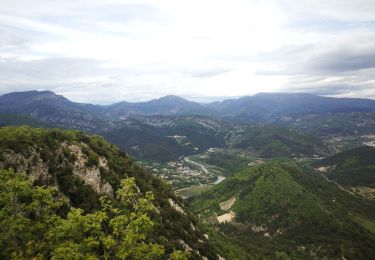
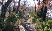
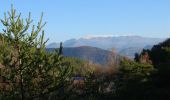
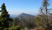
Un parcours sportif et technique, qui après trois belles ascensions successives vous offre un superbe panorama sur la vallée de lEygues. Pour terminer en beauté, une descente mémorable sur un sentier avec 600 mètres de dénivelé négatif!!! Soyez prudent par temps humide. Bonne randonnée à tous.

Elevation profile

Photos

Positioning

Country:
France
Region :
Auvergne-Rhône-Alpes
Department/Province :
Drôme
Municipality :
Les Pilles
Location:
Unknown
Start:(UTM)
674527 ; 4916277 (31T) N.

Comments

Please log in to post a review or rate the element


J'ai fait la dernière descente malheureusement les forestiers ou la commune ont créé un chemin carrossable sur près de la moitié de la descente, dommage.


Trails nearby

Trail Walking Nyons - L'Essaillon - Photo
Walking
MarcLEBARON

Walking

Difficult
(1)
Nyons, Auvergne-Rhône-Alpes, Drôme, France
17.2 km | 29 km-effort
5h 22min
Yes
Trail Walking Les Pilles - NYONS (Monts d'Autuche) - Photo
Walking
GerardBouche

Walking

Medium
(1)
Les Pilles, Auvergne-Rhône-Alpes, Drôme, France
9.1 km | 17.9 km-effort
3h 35min
Yes
Trail Walking Nyons - NYONS (sentier des Oliviers) - Photo
Walking
GerardBouche

Walking

Easy
(1)
Nyons, Auvergne-Rhône-Alpes, Drôme, France
7 km | 10.6 km-effort
2h 13min
Yes
Trail Mountain bike Nyons - Espace VTT FFC La Drôme Provençale - Circuit n° 8 - Découverte des Baronnies - Photo
Mountain bike
tracegps

Mountain bike

Difficult
(4)
Nyons, Auvergne-Rhône-Alpes, Drôme, France
35 km | 48 km-effort
3h 0min
Yes
Trail Walking Nyons - Montagne de Vaux - Photo
Walking
GUIDE
nadinebondoux

Walking

Difficult
Nyons, Auvergne-Rhône-Alpes, Drôme, France
20 km | 31 km-effort
7h 27min
No
Trail Walking Eyroles - Eyroles - Photo
Walking
gilchan

Walking

Medium
(2)
Eyroles, Auvergne-Rhône-Alpes, Drôme, France
11 km | 17.7 km-effort
3h 42min
Yes
Trail Walking Condorcet - Condorcet petite boucle par le château  - Photo
Walking
aitkhedache

Walking

Easy
Condorcet, Auvergne-Rhône-Alpes, Drôme, France
7.6 km | 10.6 km-effort
3h 17min
Yes
Trail Walking Nyons - 26 de Nyons  essaillon - Photo
Walking
himba26100

Walking

Medium
Nyons, Auvergne-Rhône-Alpes, Drôme, France
13 km | 24 km-effort
5h 46min
Yes
Trail Walking Nyons - NYONS (Montagne d'Essaillon) - Photo
Walking
GerardBouche

Walking

Medium
Nyons, Auvergne-Rhône-Alpes, Drôme, France
10.5 km | 18.5 km-effort
3h 56min
Yes


Close
My subscriptions